
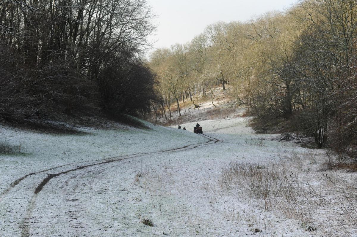
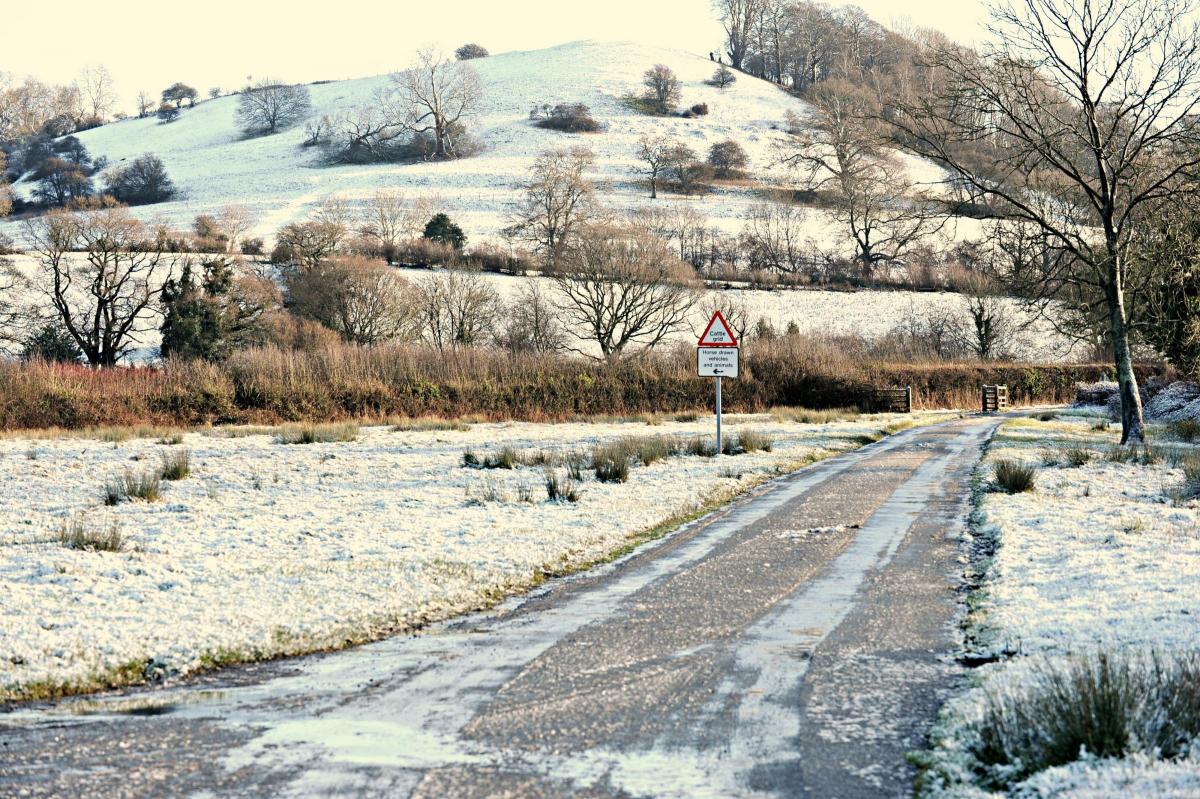
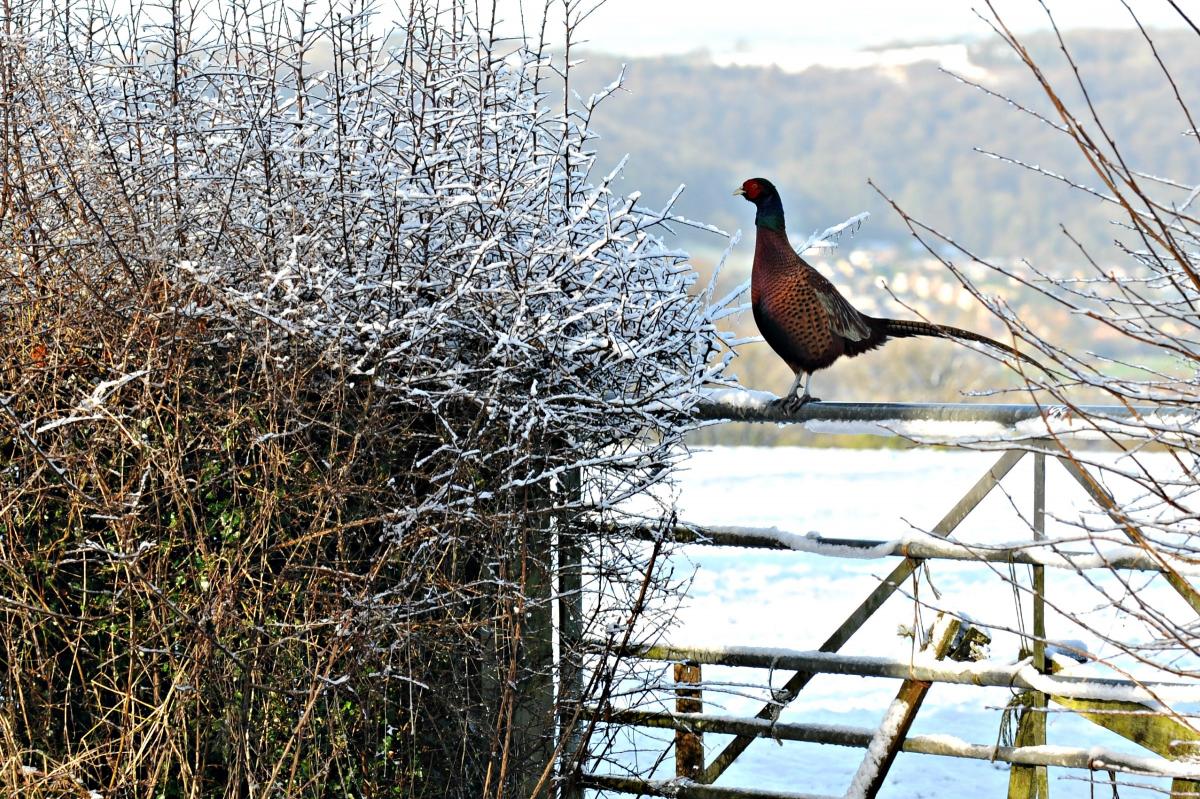
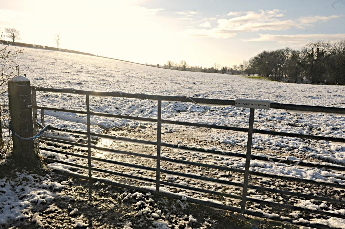
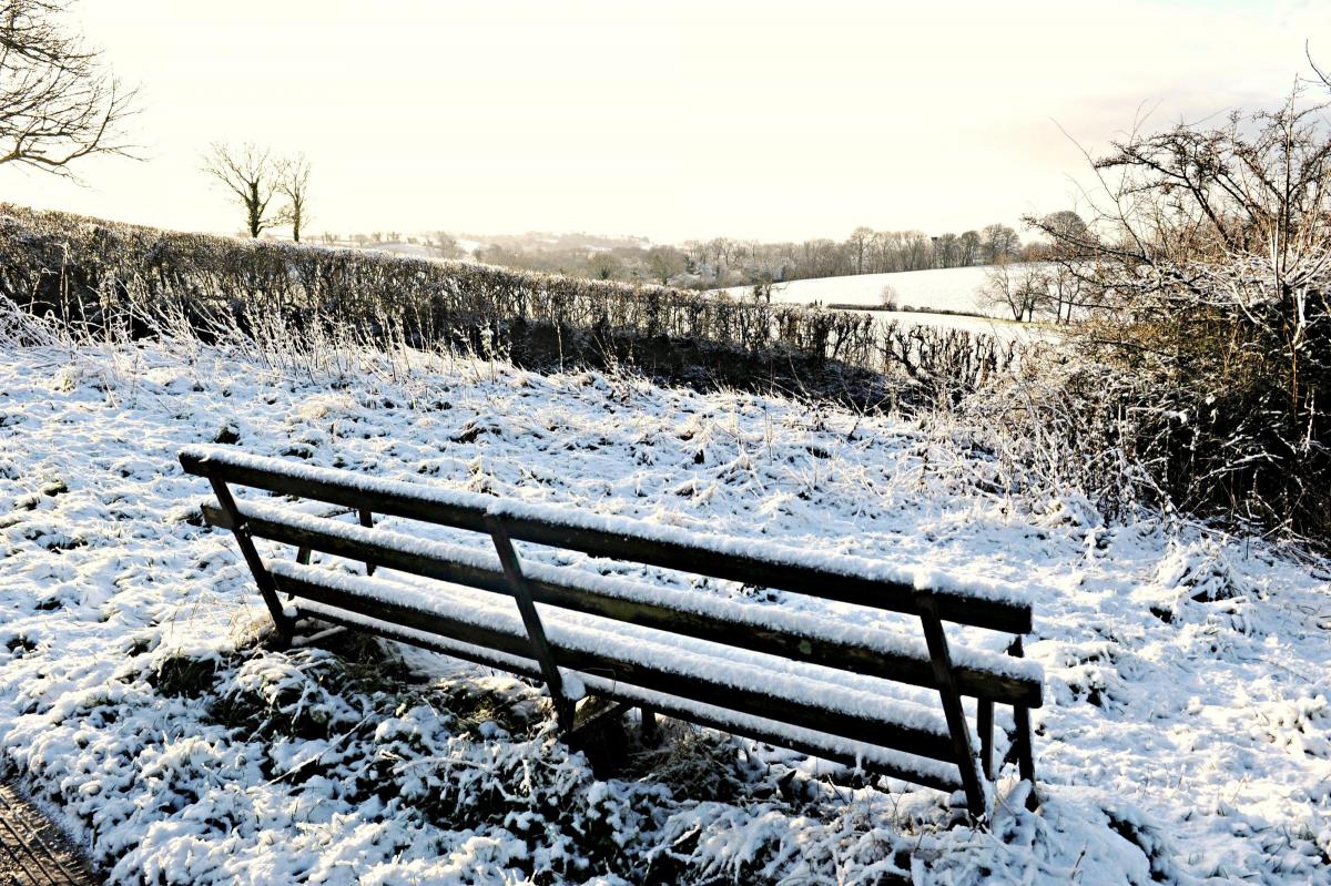
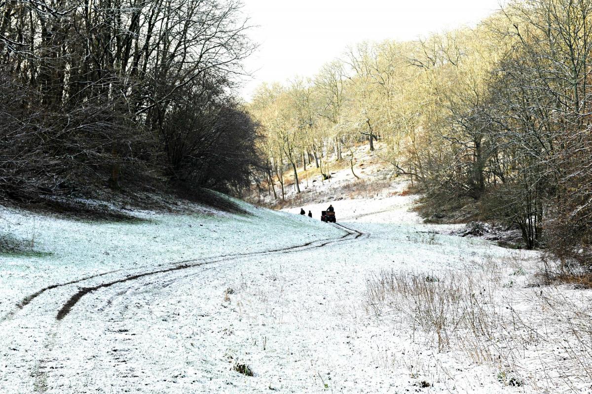
SNOW coated the ground across the region during the night of Tuesday, January 13 and Wednesday, January 14.
Although, for most of us, there probably wasn’t enough to warrant dusting off the sleds and throwing yourself from the top of the nearest hill or build 6-feet-tall snowmen it was still enough to make for some stunning photo opportunities in the morning.
As much as a centimetre of snow could be found, particularly on hihger ground, but there was no reported disruption to public transport or school services.
Temperatures plunged during the night allowing the snow to settle on rooftops and gardens across the West of England.
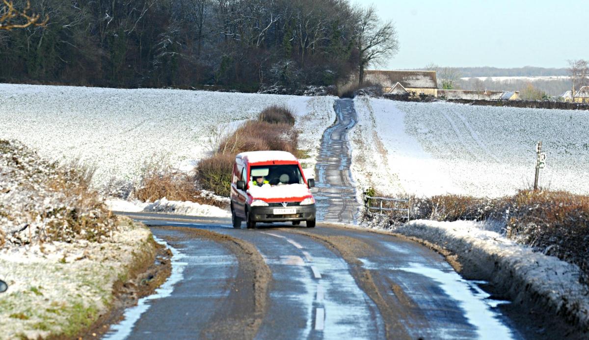
A severe weather warning was put in place on Tuesday ahead of the forecasted snowfall and lorries could be seen gritting the main roads in the evening.
However, this is not the end of the bad weather for the week. A weather warning is still in place for both Gloucestershire and South Gloucestershire warning of heavy wind and rain.
The weather warning for rain is valid this morning (January 15) and could bring as much as 50-60mm of rain over higher areas according to the Met Office’s chief forecaster and could bring localised flooding.


Comments: Our rules
We want our comments to be a lively and valuable part of our community - a place where readers can debate and engage with the most important local issues. The ability to comment on our stories is a privilege, not a right, however, and that privilege may be withdrawn if it is abused or misused.
Please report any comments that break our rules.
Read the rules here